Using multi-scale remote sensing to study habitat selection by cereal steppe birds in Portugal

Abstract
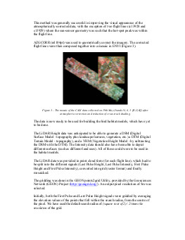
In May 2006, airborne remote sensing imagery was acquired on a pseudo-steppe area of south Portugal by NERC ARSF, as part of the Western Mediterranean Campaign. In this mission, multispectral (CASI) and laser altimetry (LiDAR) data were collected. After having been corrected for atmospheric, illumination and geometric effects, the spectral data can be used for describing the vegetation on the ground. The altimetry data were processed in order to generate a Digital Terrain Model and to map individual tree locations, and subsequently the distance to trees. These variables can be used to model the fine-scale habitats of the steppe bird community that occupies pseudo-steppe landscapes. The data will be incorporated into a multi-scale study (ranging from (this) local/patch scale to landscape and regional scales) to predict the distributions of pseudo-steppe birds.
